| Action | Procédure | ||
|---|---|---|---|
 | pan the map | While holding the uppercase key (shift or shift), move the cursor on the map. | |
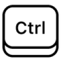 | Measure on the interface | Hold control (ctrl) pressed while drawing the desired measurement (allows you to measure distances, slopes, draw profiles on the DTM) | |
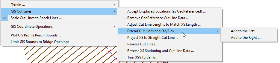
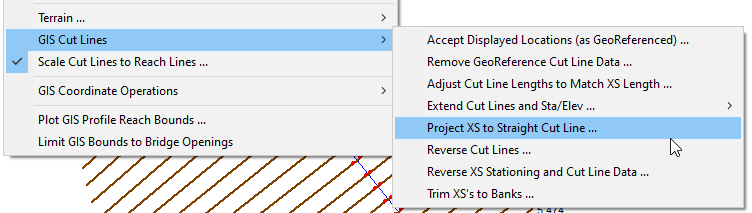
 | Extend cross sections under HEC RAS | In the GIS tools of the classic interface, it is possible to extend the profiles on either side. The altitude is then to be integrated from the DTM for example, via RASMAPPER in particular.
| |
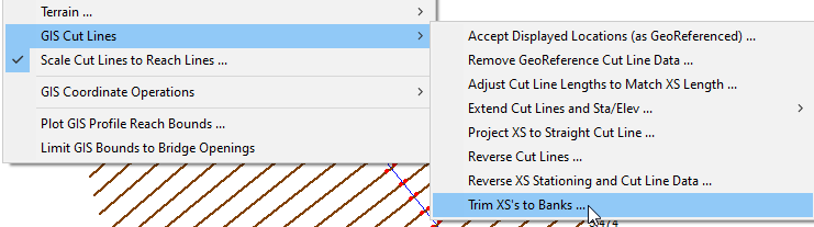
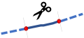 | Automatically trim cross sections in HEC RAS | In the GIS tools of the classic interface, it is possible to automatically cut the profiles to the right of the left and right bank markers.
| |
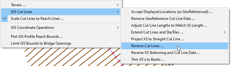
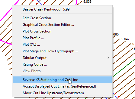
 | REverse cross sections in HEC RAS | In the GIS tools (GIS TOOLS) of the classic interface, two options:
| |
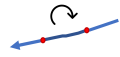
 | straighten a cross section in HEC RAS | This option, available in the GIS tools of the classic interface, makes it possible to project a non-linear cross-section on a guideline, allowing it to be adjusted to the correct section of the flow. |